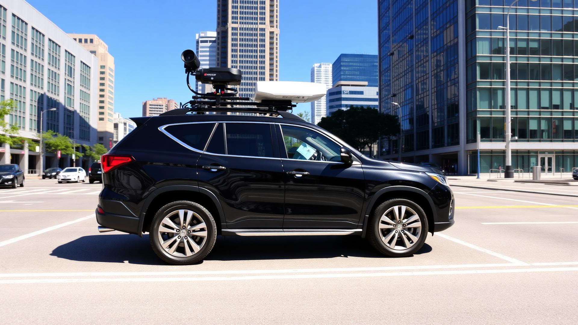
See It. Map It. Manage It.
A 3-part webinar series for local government, utilities, DOTs, public works and infrastructure professionals. Leverage street-level imagery, LiDAR and AI-powered analytics to make better decisions — faster.


3 Webinars. Real Impact.
Practical use cases. Proven results. A curated journey through modern street-level reality capture — from integrated imagery + LiDAR to overnight delivery and telecom infrastructure at scale.
Explore all sessionsBuilt for public-sector success.
Whether you manage roads, bridges, poles, pipes or sidewalks — this series is for you. High-resolution 360° imagery, LiDAR and AI-powered asset detection turn field data into actionable insight.
"See it. Map it. Manage it — the agencies that visualize their assets clearly are the ones who plan, maintain and modernize with confidence."
130,000+ infrastructure professionals.
An exclusively public-sector audience — the people who plan, build and maintain the systems your communities depend on.
Deliverables & promotional reach
Real-world solutions. Real results.
Spaces are limited.
Join infrastructure leaders from across North America for this essential educational series.